


FREE Standard Shipping on Orders $69+ with code:
FREESHIPPING


 Give a Cheer
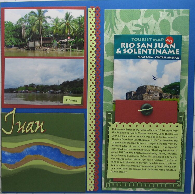
Journaling: Before completion of the Panama Canal in 1914, travel from the Atlantic to Pacific Oceans commonly used the Rio San Juan as the most accessible crossing of Central America. The river flows from Lake Nicaragua to the Carribbean and requires land transportation to complete the trip from the western edge of the lake to the ocean. The Spanish controlled the river from the time of the Conquistadores to about 1820 and built fortresses all along the way. The slow ferry from San Carlos to El Castillo took about 3 1/2 hours, the express ont he return trip took 1 1/2 hours. The river is line on both sides by rain forest. Population and roads are scarce with many6 areas only accessible by boat. The Rio San Juan is entirely in Nicaragua, but the border with Costa Rica follows closely.


Thanks for spreading positivity!


February 07, 2013
August 01, 2012
July 25, 2012
July 18, 2012
July 13, 2012
July 12, 2012
July 11, 2012
July 11, 2012
July 11, 2012
July 11, 2012
July 10, 2012
July 10, 2012
July 10, 2012
July 10, 2012